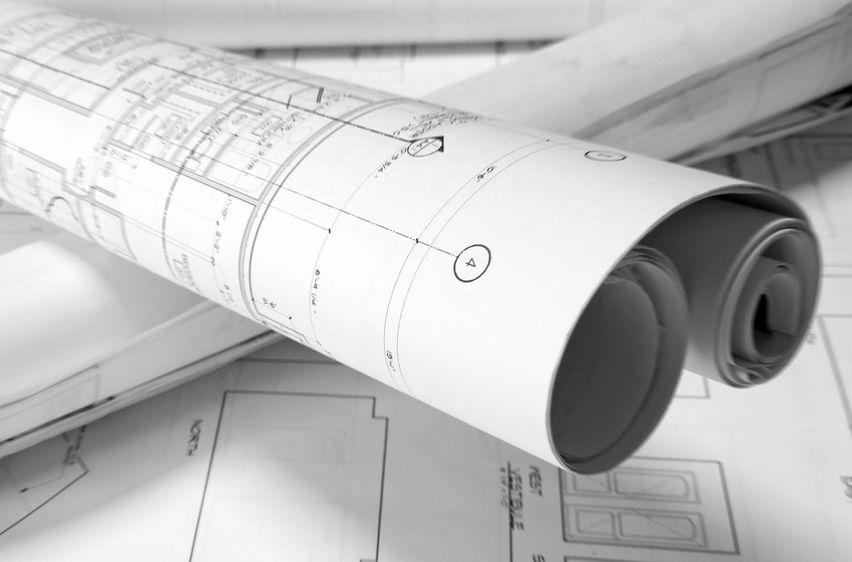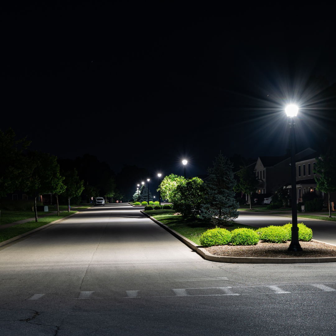
Thanks to integrated simulations, 3-D imaging, mapping, CAD and Geographic Information Systems, we can illustrate precise visual representations of a plan and project features, allowing for better cost, scheduling and design decisions.
General
Innovation in landscape architecture
By McNeil Engineering·1 min read